


Skylark relies on data from the Singapore Land Authority’s Satellite Positioning Reference Network (SiReNT), a nationwide grid of ground stations that provides highly accurate location information. This enables Grab to achieve lane-level precision for last-mile navigation in Singapore’s dense city environment.
The enhanced positioning system helps drivers navigate complex routes more efficiently, particularly in high-rise areas and multi-level roads where GPS accuracy typically falters.
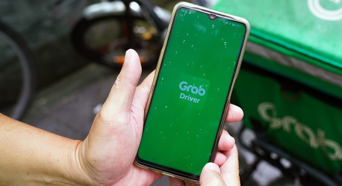
“Grab is the first to bring this level of precise positioning technology to ride-hailing in Southeast Asia. Driver- and delivery-partners will be driving with technology that is at the cutting edge — similar to high-precision positioning technology used in autonomous vehicles and even motorsports,” says Nilofer Christensen, head of Consumer Product, GrabMaps.
Grab says the trial aims to reduce missed turns, improve estimated arrival times and support smoother pick-ups for riders and merchants. “With advanced devices and precision GPS corrections working together, our partners can navigate complex urban environments more confidently, improving efficiency and unlocking new earning potential,” he adds.
See also: SingHealth taps on iPhones and iPads to cut time spent recording patient recovery
To complement the pilot, Grab is also mapping basements and carparks across Singapore using its proprietary KartaCam and LiDAR technology to counter blind spots underground. The data will enable the app to maintain turn-by-turn guidance even when GPS signals are lost, which is a frequent challenge in densely built environments such as Marina Bay and Orchard.
Insights from the trial will guide future deployment of lane-level navigation across its regional driver network, extending the benefits of precise positioning to more partners and markets.
“This collaboration with Grab, OPPO, and Swift Navigation marks an important innovation in bringing high-accuracy positioning to mobile devices. We are excited to see how this pilot drives innovation to enhance the driver experience and discover new possibilities for navigation and location-based services in dense urban environments,” says Francesco Grilli, vice president of product management at Qualcomm Technologies.
Holger Ippach, EVP of Product and Marketing at Swift Navigation, adds: “While Skylark already powers more than 10 million advanced driver assistance system-enabled and autonomous vehicles, outdoor robots, and digital mapping applications, Grab, OPPO, and Qualcomm are establishing the new benchmark for the next generation of mobile navigation — a standard the entire industry will follow.”


