


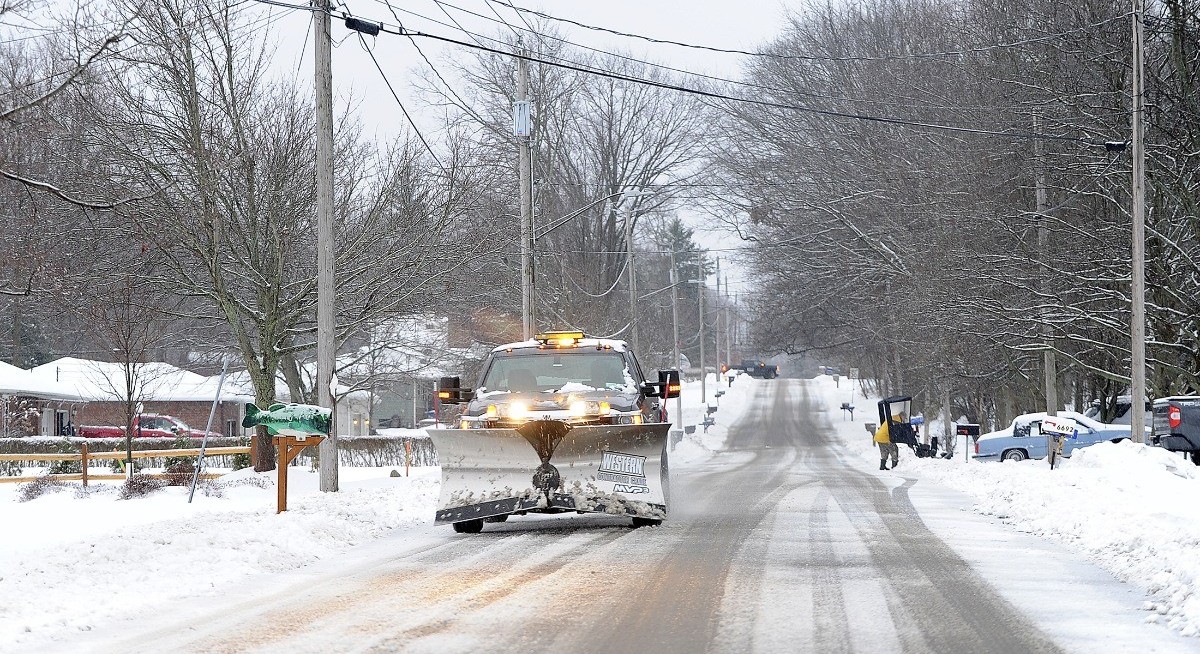
Heavy snow is expected to start falling in New York City and across Long Island from Friday afternoon through Saturday, with as much as eight inches (20cm) piling up before the storm winds down, Richard Bann, a forecaster with the US Weather Prediction Center, said late on Thursday.
New York City issued a travel advisory for the duration of the storm as cold temperatures limit snowmelt, increasing the risk of slippery and hazardous road conditions. The city’s five boroughs, Westchester, southern Connecticut and northeastern New Jersey may see snow accumulations between four inches and eight inches as the storm moves through the area from Friday at about 4pm through the following day at 1pm, according to the National Weather Service.
“The hazardous conditions could impact the Friday evening commute,” the weather service said in the notice issued on Thursday.
The winter watch extends into Philadelphia with the storm expected to move offshore into the mid-Atlantic by Saturday morning, the service said. Wintry precipitation will give way to freezing rain as the storm moves south.
See also: FAA closes airspace at El Paso for ‘special security reasons’
A potentially stronger cold front will move across the Northeast, including the Washington area, towards the end of the weekend, which could lead to blustery conditions during the last few days of the year. Parts of western Pennsylvania may be hit by an ice storm, which could cause power outages and make travel hazardous, the National Weather Service said.
Uploaded by Felyx Teoh


